Overview of big data in environmental science
Environmental big data refers to the massive and complex sets of environmental information generated from various sources, including satellites, remote sensing, sensors, and other digital technologies. This data is characterized by its volume, variety, velocity, veracity, and value, which distinguish it from traditional, smaller-scale environmental data. By harnessing the power of big data analytics, machine learning, and artificial intelligence, researchers, policymakers, and organizations can gain deeper insights, develop targeted strategies, and drive sustainable solutions to protect our environment.
The Evolution from Traditional Environmental Data to Big Data
Historically, environmental data was collected using conventional methods, such as direct observations, sample collection, and manual measurements, which were time-consuming, labor-intensive, and often limited in scope. The rapid advancements in technology have enabled the collection and analysis of environmental data on a much larger and more comprehensive scale. For instance, remote sensing technologies and satellite imagery now allow us to monitor deforestation, ice cover, and other phenomena in real-time. Similarly, networks of IoT sensors can continuously collect data on air and water quality, providing valuable information on pollution levels and emerging risks. This exponential growth in data volume, combined with the increasing variety of data types and sources, has led to the emergence of environmental big data.
Examples of Environmental Big Data
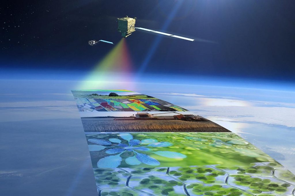
Satellite Imagery: High-resolution satellite images provides important information on land use, vegetation cover, and natural disasters, enabling scientists to monitor and analyze changes in the Earth’s surface over time. Satellite data archives now measure in the PetaBytes, and require big data analytic tools like GEOAnalytics Canada to analyze.
Climate Data: Large datasets containing historical and real-time climate data, such as temperature, precipitation, and wind patterns, are invaluable for understanding climate change and developing predictive models. These datasets help inform policy decisions on climate change mitigation and adaptation strategies.
Air Quality Monitoring: Networks of air quality sensors in urban areas generate vast amounts of data on air pollutants, such as particulate matter, nitrogen dioxide, and ozone. This data allows authorities to identify pollution hotspots, develop targeted interventions, and evaluate the effectiveness of air quality regulations.
Ocean data: Data about our oceans is generated from a variety of sources, including models, satellites, buoys, research vessels, sensor networks, and unmanned maritime vehicles, and the majority of it comprises of remote sensing and model data. The volume of ocean data is expected to expand dramatically, surpassing 250 petabytes by 2030, and the huge volumes of data from multiple disciplines of ocean science create significant challenges in handling and managing the data
Water quality and Quantity data: Water quality data can be collected from sensors installed in water sources, which collect data on various parameters such as pH, temperature, and dissolved oxygen levels. Water quantity data can be collected through hydrologic monitoring networks, which collect data on features such as streamflow and groundwater levels. The volume of data generated by these sources can be enormous, making them examples of big data
Conclusion
Environmental big data is transforming the way we approach environmental challenges by providing deeper insights, facilitating real-time monitoring, and enabling data-driven decision-making. As technology continues to advance and data sources proliferate, the importance of harnessing environmental big data for a sustainable future will only continue to grow. By understanding its significance and potential applications, we can leverage this powerful tool to protect our planet for generations to come.
Next Steps
Round Table Environmental Informatics (RTEI) is a consulting firm that helps our clients to leverage digital technologies for environmental analytics. We offer free consultations to discuss how we at RTEI can help you.