Introduction
Big Data Geoscience
Big Data Geoscience is the interdisciplinary field that focuses on collecting, storing, processing, and analyzing vast amounts of geospatial and environmental data to gain valuable insights and make informed decisions. This field incorporates various technologies and tools that help researchers, policymakers, and stakeholders better understand the Earth’s systems and the impact of human activities on the environment.
What is Big Data?
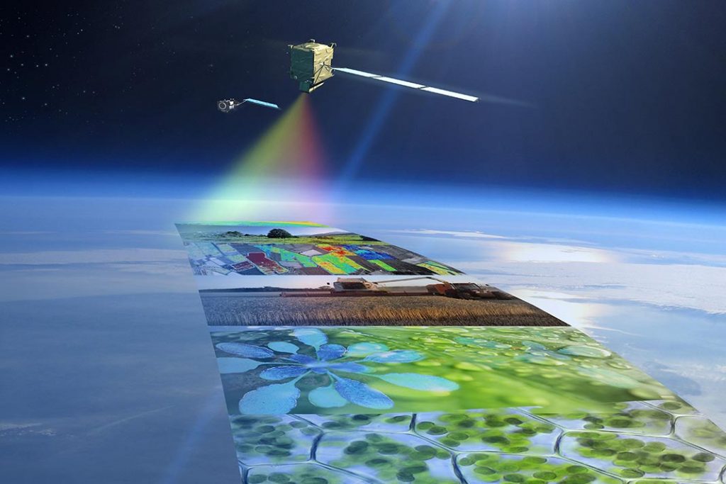
Big Data refers to the massive volume, variety, and velocity of data that is generated, collected, and processed every day. In the context of environmental sciences, Big Data encompasses a wide range of data sources, including satellite imagery, remote sensing data, climate models, and sensor networks, among others. These datasets are characterized by their complexity, high resolution, and temporal and spatial variability, making them difficult to analyze using traditional data management and processing techniques.
Importance of Big Data in Environmental Sciences and Geoscience
Big Data plays a critical role in addressing complex environmental challenges such as climate change, natural resource management, biodiversity conservation, and disaster risk management. By leveraging Big Data technologies and tools, researchers can make sense of massive datasets, identify patterns and trends, and develop effective solutions for pressing environmental issues. With the ability to integrate and analyze data from diverse sources, such as satellite imagery, remote sensing data, sensor networks, and climate models, environmental scientists can gain a deeper understanding of the Earth’s systems and the impact of human activities on the environment.
Moreover, Big Data enables more accurate and comprehensive environmental monitoring and assessment, facilitating informed decision-making and policy development. In geoscience, Big Data helps researchers to uncover hidden patterns in geological processes, monitor changes in land use, and assess the potential impact of natural hazards. By harnessing the power of Big Data, environmental and geoscience professionals can develop targeted conservation strategies, optimize resource management plans, and improve disaster risk management and resilience. Ultimately, the use of Big Data in environmental and geoscience domains contributes to sustainable development and environmental conservation, paving the way for a more resilient future.
Environmental Big Data Technologies
Data storage and management
Cloud computing
Cloud computing platforms like Amazon Web Services (AWS), Google Cloud, and Microsoft Azure offer scalable and cost-effective solutions for storing, managing, and processing environmental Big Data. These platforms provide a wide range of services, from data storage and computing resources to advanced analytics and machine learning tools. Advatages of cloud computing include flexibility, scalability, and reduced infrastructure costs, while disadvantages may include data security concerns and potential vendor lock-in.
Distributed file systems (S3, Object Stores, Hadoop, HDFS)
Distributed file systems such as Amazon S3, Cloud Object Stores, Hadoop, and HDFS enable the storage and management of large datasets across multiple servers or nodes. These systems provide fault tolerance, high availability, and scalability to handle vast amounts of data. Advantages of these systems include improved data redundancy and reliability, while disadvantages may involve complexity in setup and management.
Data warehousing
Data warehousing solutions like Amazon Redshift, Azure Synapse, Snowflake, and Google BigQuery offer a centralized repository for storing and analyzing structured and semi-structured data at scale. These solutions enable faster querying and reporting, supporting data-driven decision-making. Pros include improved data analysis capabilities and scalability, while cons may include high costs and limited support for unstructured data.
Data processing and analytics
Parallel computing frameworks
Parallel computing frameworks such as Dask, Ray, and Apache Spark enable efficient processing and analysis of large datasets by distributing tasks across multiple computing resources. These frameworks significantly reduce processing time and enable real-time analytics. Advantages of these systems include improved performance and scalability, while disadvantages may include complexity in implementation and management. RTEI recommends Dask as it expands on common python libraries.
Read more: compare Apache Spark to Dask
Geospatial data processing libraries
Geospatial data processing libraries like Xarray, RasterIO, and Geopandas provide a set of tools and functionalities for handling, analyzing, and visualizing geospatial data. These libraries simplify the process of working with spatial data, enabling researchers to focus on the analysis. Advantages of these systems include ease of use and support for various geospatial data formats, while disadvantages may include needing to learn new programming skills. To efficiently use these data processing libraries, cloud native geospatial file formats should be used.
Machine learning libraries
Machine learning libraries such as scikit-learn, TensorFlow, and PyTorch offer powerful tools for developing and deploying predictive models using environmental Big Data. These libraries enable researchers to uncover hidden patterns, make predictions, and automate decision-making. Advantages of these systems include a wide range of algorithms and ease of use, while disadvantages include the need for advanced computational resources and gaining expertise in machine learning.
Data visualization
Interactive web mapping
Interactive web mapping tools like Leaflet, OpenLayers, and Mapbox enable the creation of dynamic and interactive maps to visualize geospatial data. These tools make it easier to explore and understand complex spatial relationships, facilitating effective communication of environmental insights. Pros include ease of use and customization, while cons may include limited support for advanced geospatial analysis.
Geospatial data visualization libraries
Geospatial data visualization libraries like Bokeh, Matplotlib, and Plotly provide a suite of tools for creating interactive and static visualizations of geospatial data. These libraries support various chart types and enable users to explore and analyze data effectively. Pros include flexibility and support for various data formats, while cons may include a learning curve for non-programmers.
Geospatial Data Cubes
Open Data Cube
Open Data Cube is an open-source project that provides a framework for organizing, storing, and analyzing large-scale Earth observation data in a spatiotemporal data cube format. This approach enables efficient querying, analysis, and visualization of environmental data. Pros include scalability and support for various data sources, while cons may include limited functionalities compared to commercial solutions.
XCube
XCube is a versatile data cube platform that supports the processing and analysis of multi-dimensional Earth observation data. It provides a flexible and scalable solution for handling large datasets, enabling users to derive valuable insights from environmental data. Pros include support for various data formats and cloud-based deployment, while cons may include a learning curve for new users.
Rasdaman
Rasdaman is a high-performance data cube engine that offers advanced querying and analysis capabilities for multi-dimensional environmental data. It supports complex analytics and on-the-fly processing, enabling users to gain insights from large datasets. Pros include high performance and support for various data formats, while cons may include complexity in setup and configuration.
Environmental Big Data Tools
Data integration and harmonization
Data interoperability standards
Data interoperability standards, such as those established by the Open Geospatial Consortium (OGC), EPA Exchange Network, EPA Data Standards Policy, and Cloud Native Geospatial file types, facilitate the integration and harmonization of environmental data from various sources. These standards ensure consistent data quality, accessibility, and compatibility across different systems. Pros include improved data sharing and collaboration, while cons may include the need for continuous updates and maintenance.
Data fusion techniques
Data fusion techniques, such as image registration and sensor fusion, enable the combination of data from multiple sources, sensors, or platforms to generate more accurate and comprehensive environmental insights. These techniques help overcome limitations of individual data sources and improve the overall quality of the analysis. Pros include increased data accuracy and completeness, while cons may include complexity in implementation and potential errors in data fusion.
Data cataloging and metadata management
Data cataloging and metadata management tools like CKAN, GEONode, PyGEOApi and GeoNetwork provide a centralized platform for organizing, discovering, and accessing environmental data. These tools support metadata standards and enable users to search and retrieve relevant datasets easily. Advantages brought by these tools include improved data discovery and accessibility, while disadvantages may include the need for consistent metadata and data management practices.
Data visualization and exploration
Interactive web mapping
As mentioned previously, interactive web mapping tools like Leaflet, OpenLayers, and Mapbox enable the creation of dynamic and interactive maps to visualize geospatial data. These tools facilitate the exploration and understanding of complex spatial relationships, promoting effective communication of environmental insights.
Geospatial data visualization libraries
Geospatial data visualization libraries like Bokeh, Matplotlib, and Plotly, as discussed earlier, provide a suite of tools for creating interactive and static visualizations of geospatial data. These libraries support various chart types and enable users to explore and analyze data effectively.
Virtual and augmented reality (VR/AR) applications
Virtual and augmented reality (VR/AR) applications offer immersive and interactive experiences for visualizing and exploring environmental data. These technologies enable users to gain a deeper understanding of complex spatial relationships, improve decision-making, and enhance public engagement. These systems generally fuse data from multiple sources into digital twins. Geospatial digital twins are used to enhance data capture and integration, enable better real-time visualization, and provide advanced analysis and automation of future predictions. Advantages of VR/AR systems include improved user engagement and enhanced spatial understanding, while disadvantages may include high development costs and limited accessibility for some users.
Decision support and modeling
Environmental modeling frameworks
Environmental modeling frameworks like SWAT (Soil and Water Assessment Tool), MODFLOW (Modular Groundwater Flow Model), and InVEST (Integrated Valuation of Ecosystem Services and Trade-offs) provide a set of tools for simulating and predicting environmental processes and impacts. These frameworks support scenario analysis and decision-making, helping stakeholders develop sustainable management strategies. Advantages of these systems include support for various environmental processes and user-friendly interfaces, while cons may include limitations in modeling complexity and data requirements.
Risk assessment and scenario analysis tools
Risk assessment and scenario analysis tools, such as Hazop (Hazard and Operability Study), enable the identification, evaluation, and mitigation of potential environmental risks and hazards. These tools support proactive decision-making and help stakeholders develop robust and resilient strategies for environmental management. Advantages of these tools include improved risk management and decision-making, while disadvantages may include the need for expertise in risk assessment methodologies and data interpretation.
Geospatial decision support systems
Geospatial decision support systems, like GeoDa and GRASS GIS, provide a platform for integrating and analyzing geospatial data to support decision-making processes. These systems offer various tools for data processing, analysis, visualization, and modeling, enabling users to derive valuable insights and make informed decisions. Advantages of these systems include support for various geospatial data formats and analysis techniques, while disadvantages may include a learning curve for new users and limited functionalities compared to specialized software.
Case Study: GeoAnalytics Canada
GEOAnalytics Canada is a cloud native, open platform for Big Data geoscience. GEOAnalytics Canada stores and processes satellite EO data over wide areas and deep time-series, integrating tools for data ingestion, processing, ground truth data management, metadata management, and scalable interactive analytics. By leveraging cloud native solutions, GEOAnalytics Canada overcomes the challenges posed by traditional desktop analytic tools, enabling the efficient storage and analysis of large volumes of satellite EO data.
Applications of Environmental Big Data Technologies and Tools
Climate change research
Environmental Big Data technologies and tools play a crucial role in climate change research, enabling scientists to collect, process, and analyze vast amounts of data from various sources, such as satellite observations, ground-based measurements, and climate models. These technologies and tools help researchers better understand the complex processes driving climate change and develop effective mitigation and adaptation strategies.
Natural resource management
Big Data technologies and tools support sustainable natural resource management by providing valuable insights into resource availability, distribution, and use. Through advanced data processing, analytics, and visualization, stakeholders can develop more effective and efficient resource management plans, promoting conservation and sustainable development.
Biodiversity conservation
Environmental Big Data technologies and tools enable the collection, analysis, and visualization of biodiversity data, supporting the identification and monitoring of species, habitats, and ecosystems. These tools help researchers and policymakers develop targeted conservation strategies and measure the effectiveness of conservation efforts.
Environmental monitoring and pollution control
Big Data technologies and tools facilitate the monitoring and control of environmental pollution by enabling the integration, processing, and analysis of data from various sources, such as air and water quality sensors, satellite observations, and pollution models. These tools help identify pollution sources, assess the effectiveness of pollution control measures, and develop more targeted and effective strategies for pollution prevention and mitigation.
Disaster risk management and resilience
Environmental Big Data technologies and tools support disaster risk management and resilience by enabling the collection, integration, and analysis of data related to hazards, vulnerability, and exposure. These tools facilitate the development of risk assessments, scenario analyses, and decision support systems, helping stakeholders better prepare for, respond to, and recover from disasters.
Challenges and Future Directions
Cost optimization
While cloud computing offers flexibility, scalability, and reduced infrastructure costs, managing expenses can be complex due to factors such as data storage, transfer, and processing requirements, as well as the need for advanced analytics and machine learning capabilities. Additionally, organizations must take into account the costs associated with managing data security and compliance. To effectively manage costs, organizations need to adopt strategies such as selecting the most suitable cloud service provider, leveraging pricing models that align with their usage patterns, optimizing data storage and processing, and continuously monitoring and adjusting their cloud resources to avoid unnecessary expenses. By addressing these challenges, organizations can fully harness the potential of Big Data technologies in the cloud while keeping costs under control.
Scalability and performance optimization
Scalability and performance optimization are critical for handling the increasing volume, variety, and velocity of environmental data. Future developments in Big Data technologies and tools must focus on improving scalability and performance to support real-time analytics and decision-making.
Interoperability and standardization
Interoperability and standardization are essential for facilitating data sharing and collaboration among stakeholders in environmental Big Data. The development and adoption of data standards and interoperability frameworks will continue to be a priority in the future.
Evolving trends and emerging technologies for Environmental Big Data
Emerging technologies such as artificial intelligence (AI), the Internet of Things (IoT), and edge computing will play a significant role in shaping the future of environmental Big Data. These technologies will enable more efficient data collection, processing, and analysis, leading to new insights and opportunities for environmental management and decision-making.
Conclusion
The future of Big Data for Environmental Science and Geoscience is promising, with advancements in technologies and tools enabling more efficient and effective management of environmental data. As the technologies are developed, users of stakeholders will have access to more powerful analytics and visualization capabilities, leading to improved decision-making and more sustainable environmental outcomes.
Next Steps
Round Table Environmental Informatics (RTEI) is a consulting firm that helps our clients to leverage digital technologies for environmental analytics. We offer free consultations to discuss how we at RTEI can help you.